VLF
VLF is useful for detecting lateral changes in subsurface electrical properties, and is used primarily for locating water bearing fractures in bedrock. Hager-Richter has extensive experience collecting and interpreting VLF data. VLF is often used in conjunction with EM, electrical and/or seismic methods for sighting high yield water wells and locating preferential contaminant pathways in bedrock, but VLF can be used as a stand alone method.
Several radio transmitters operate throughout the world in the VLF range, 15-30 kHz, and are used mainly for marine navigation, communication with submersed submarines, and other purposes. The principle of VLF subsurface exploration is simple. At large distances from the transmitter, the EM field is effectively planar and horizontal. A conductor that strikes in the direction of the transmitter is cut by the magnetic vector, and these primary magnetic fields cause electric currents to flow in subsurface conductors. In another, more recent, theory, the subsurface currents flow along interfaces between bodies of differing conductivity. (The interpretation, however, is much the same for both theories.) Such induced currents, in turn, produce secondary magnetic fields which can be measured and interpreted in terms of the spatial variation of electrical conductivity.
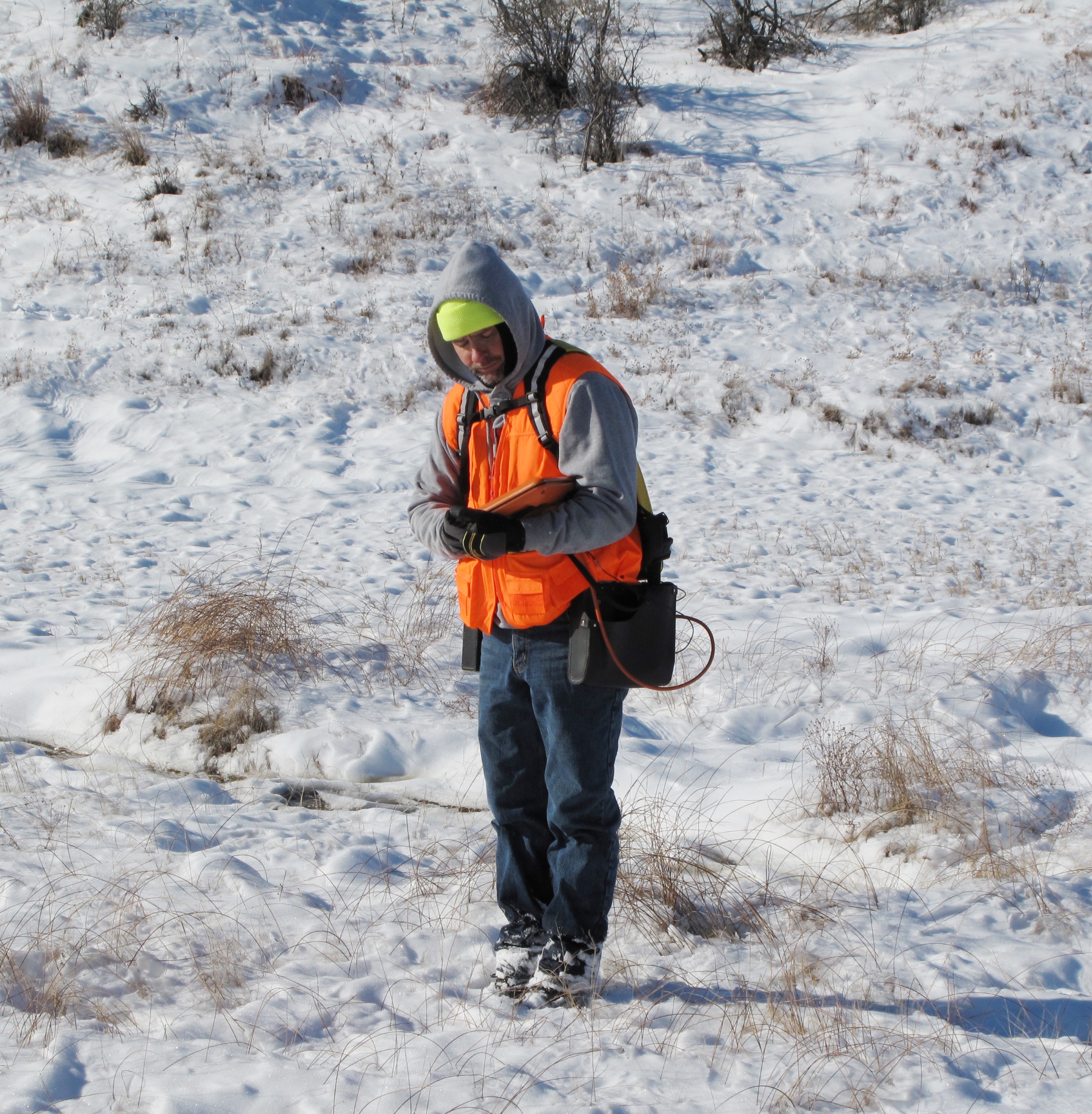
Data are acquired at discrete stations spaced 10-20 feet apart along survey lines. Data are digitally recorded for subsequent processing and interpretation. The instrumentation required to conduct a VLF survey is compact and portable, and this makes it possible for a single individual to rapidly collect data over all but the most difficult terrain.
Hager-Richter has ample experience conducting VLF surveys, and our highly trained staff is dedicated to obtaining the best quality data possible. Whether the project lasts for a single day or three months, Hager-Richter will commit the resources necessary to complete the work in the allotted time.
General Applications
- Water resource exploration
- Groundwater resource studies: mapping and plume delineation
- Public/private remedial investigations and feasibility studies
- Geological mapping
Specific Applications
- Locate fractures and faults
- Locate buried mafic dikes